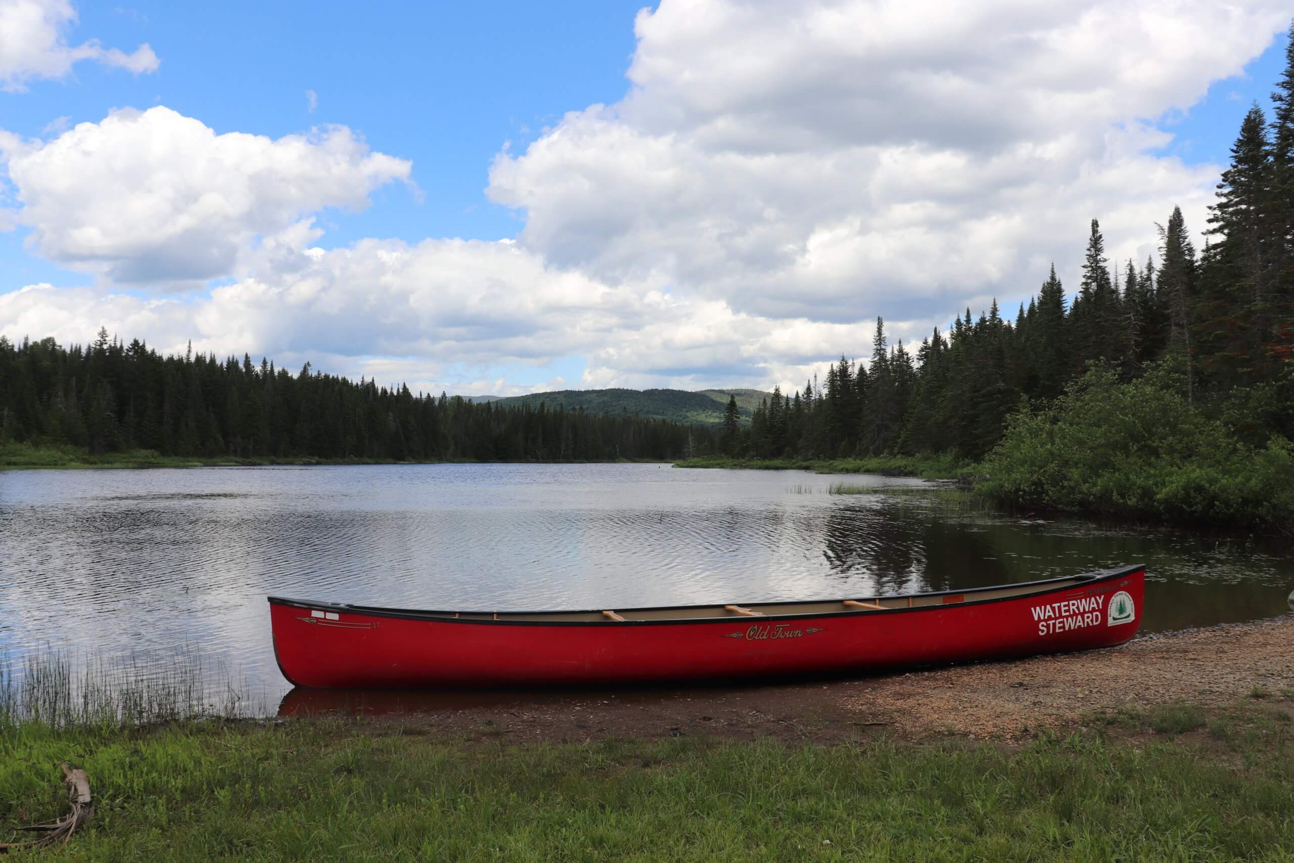
In late June, the Northern Forest Canoe Trail 2020 GIS team began mapping out the Lower Black River and the Lower Barton River, ending in Newport. The interns also explored a possible connection between the Lamoille and Black Rivers via Alder Brook.
Paddling the swampy areas was tough given how low water levels are right now. Luckily, we were able to lift our spirits with some ice cream at Tim and Doug’s in Newport.
The following week we did some pond-hopping in the Northeast Kingdom. We looked at Lake Willoughby, Norton Pond, Little Avrill Lake and Great Avrill Lake. We found out that the locals call them lakes and not ponds, contrary to what google maps says. We also stopped and talked with the folks at both Quimby Country and Jackson’s Lodge and they gave us some great insight on the area.
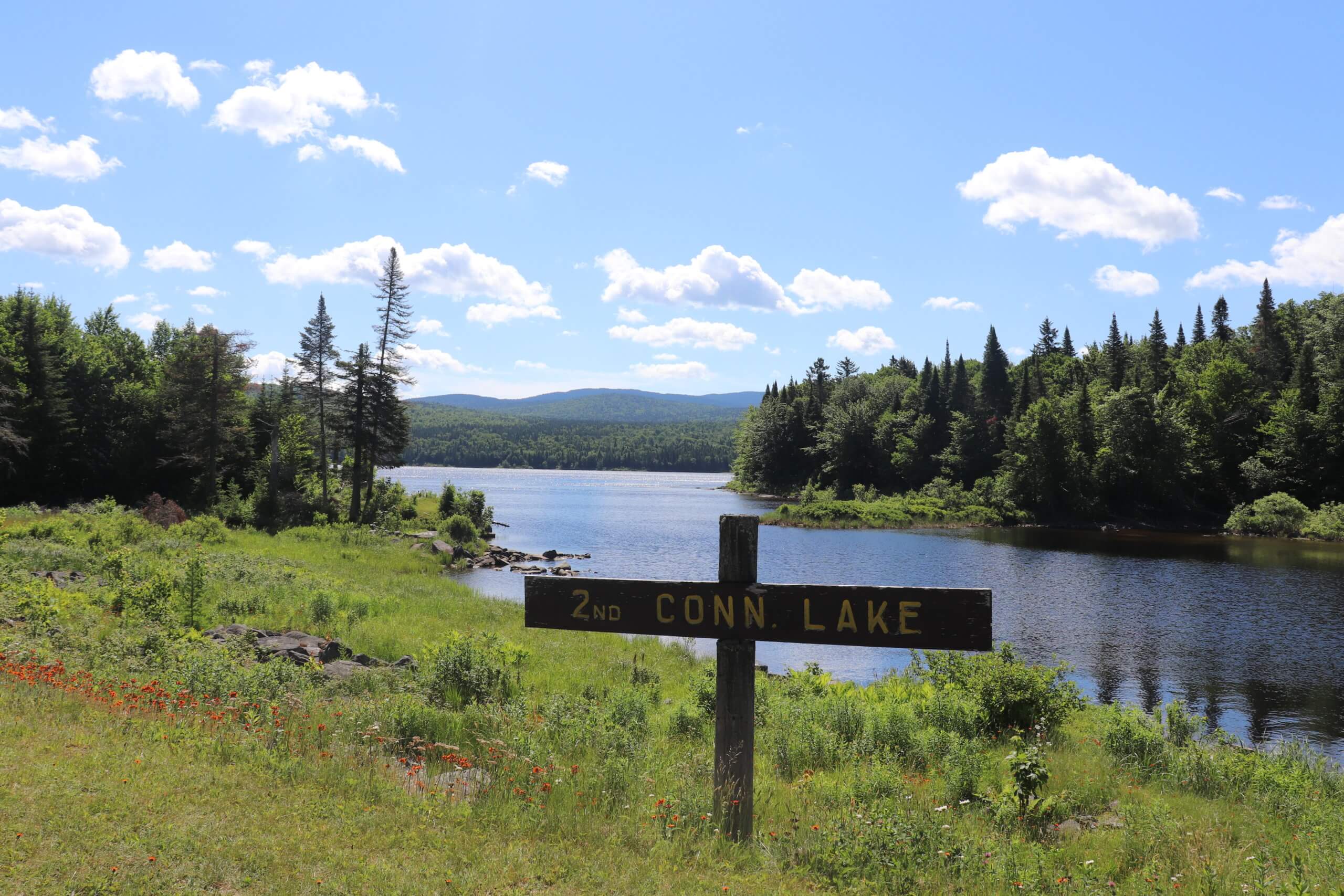
The team also explored the second Connecticut Lake and East Inlet Lake, in Coos County, NH, near Pittsburg. Both were beautiful and serene with lots of opportunities to see some cool wildlife. We wrapped up the trip with a stay at Northern Waters Outfitters.
Stay tuned for more updates from the GIS crew!